Phoenicia, Carthage and the Mediterranean. Part II: The Mediterranean Setting
by Christopher Wood
Edited version of an article written by Christopher Wood
The Mediterranean is the vestige of a far greater primeval sea, called Tethys by geologists. Some 110,000 million years ago Tethys was wedged between what would later become the landmasses of Europe and Asia to the north, and Africa and Arabia to the south. As these masses encroached upon each other, the present Mediterranean basin and the mountains that skirt it began to take shape; Apulia (Italy) and Anatolia were originally part of the southern continent. Apulia’s collision with what is now the rest of the Italic Peninsula created the Appenines. Anatolia’s highlands are also the result of this gradual impact. Two islands, Corsica and Sardinia, were torn from what is now Iberia, and drifted eastward to their present positions in the Tyrhhanian Sea. The African plate is still encroaching upon that of Europe, so the Mediterranean actually becomes infinitesimally smaller each year.
In certain long periods during this slow drift the earth experienced ice ages, when so much of its waters became trapped as ice that seas shrank dramatically. During the last of these ages, around 18,000 years ago, the Mediterranean islands were separated from major landmasses by reasonably small stretches of water. Humans were able to cross these channels to populate the islands. Many of the Mediterranean’s islands, such as Corsica, Sardinia, Crete and Malta preserve some of Europe’s most sophisticated Prehistoric structures.
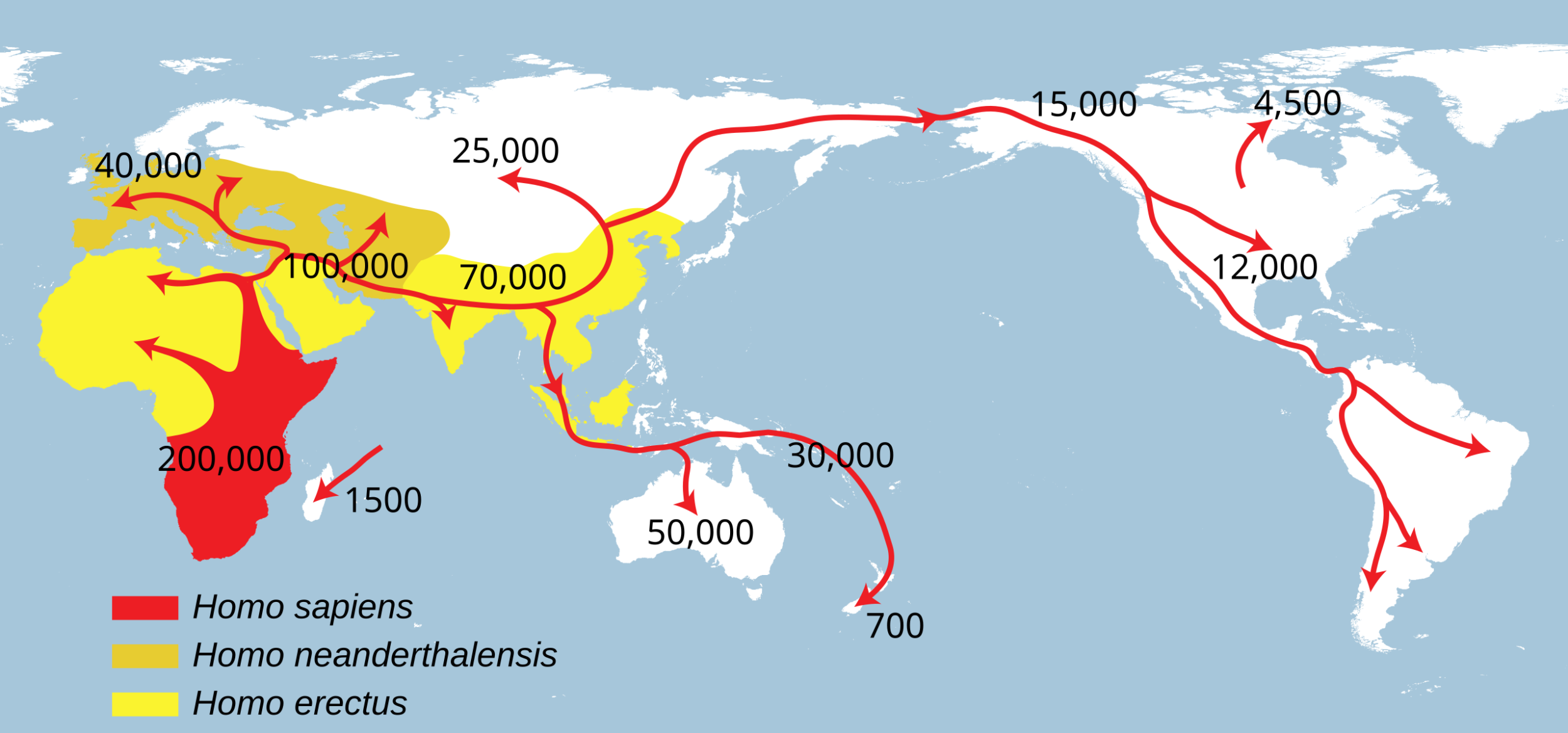
Spreading of Homo Sapiens
Europe’s first human inhabitants populated the world from Africa. One branch, after crossing into what is now the Middle East, slowly moved westward into Europe. Some scholars believe that the ancestors of North Africa’s indigenes, called Berbers by the Arabs, were a branch of these Europeans who eventually moved back across the Mediterranean to what are now Libya, Tunisia, Algiers and Morocco. Others argue that a branch of the early human family never crossed into the Middle East, but rather moved slowly westward across North Africa, peopling what is now the Northern Sahara, which until quite recently was far more fertile than it is today. These peoples spread west as far as the Magrhib, the ‘farthest west’. Evidence for this settlement of North Africa has been found in a wealth of rock engravings throughout the Sahara region.
These engravings not only tell us about the ancestors of the tribal peoples encountered by the Phoenicians, Greeks and Romans but also provide an invaluable record of the animals that once inhabited what is now the Sahara; these animals included beasts such as giraffe, rhinoceros and a pigmy elephant. From a much later period, mosaics like the great cycle laid by African mosaicists in the Roman villa near Piazza Armerina, Sicily, suggest that, before the desiccation of the Sahara region, a wealth of African animals – lion, leopard, rhinoceros, ostrich – had crossed what later became desertified to the Mediterranean’s south coast.
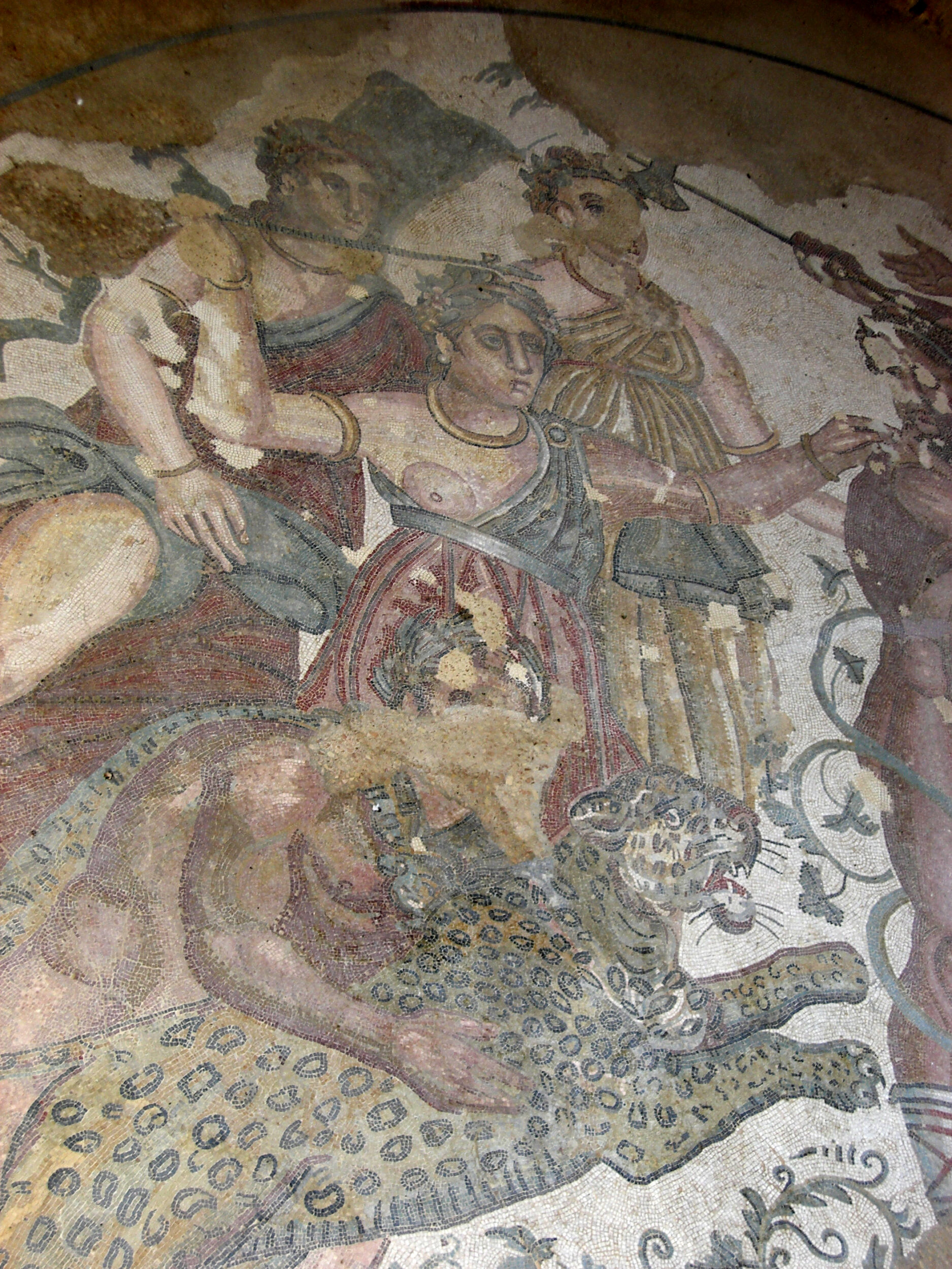
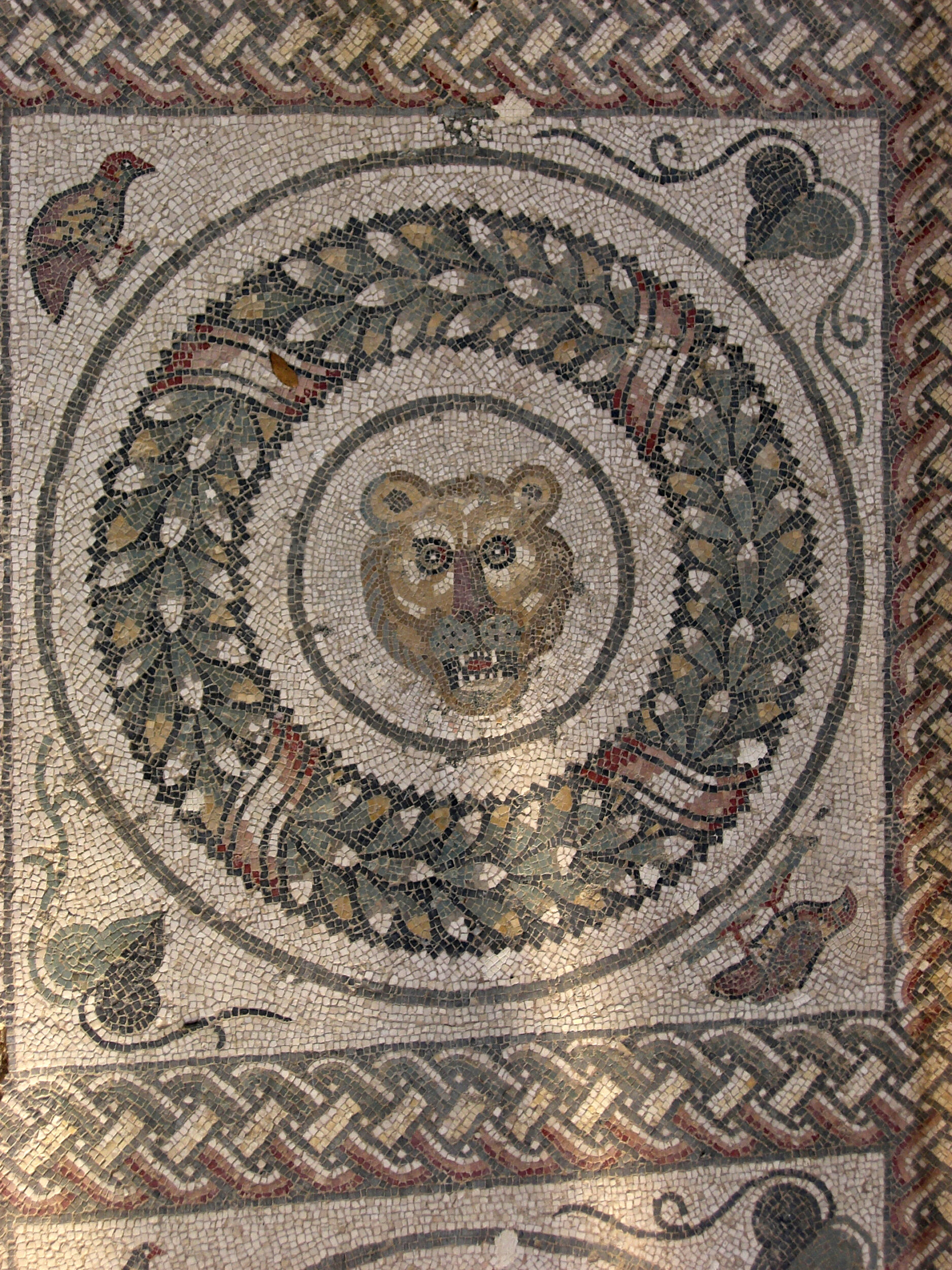
Mosaics at Villa Romana del Casale. Piazza Armerina, Sicily
Topography of the Mediterranean Basin
The civilisations of the Mediterranean basin have been shaped since antiquity by the topography of its coastal regions. The north coast of this sea is hemmed in by an almost continuous strip of mountains from the Baetic Range of Spain through the European Alps of the South of France and Northern Italy, to the Dinaric range running down the Adriatic’s Balkan coasts, the Rhodope in southern Bulgaria and the Taurus Mountains of Southern Turkey. These high mountains, and the Apennines that make up Italy’s spine, in many places fall straight to the sea, such as in Liguria. Elsewhere they leave only a narrow littoral for the cultivation of food crops. The narrowness of these coastal plains is of great consequence to European history. Often during the last three millennia coastal communities such as the Levantine Phoenicians or the citizens of Italy’s medieval communes had so little arable land at their disposal that they were forced to import grain; many economic historians believe that this stimulated the growth of trade between coastal cities.
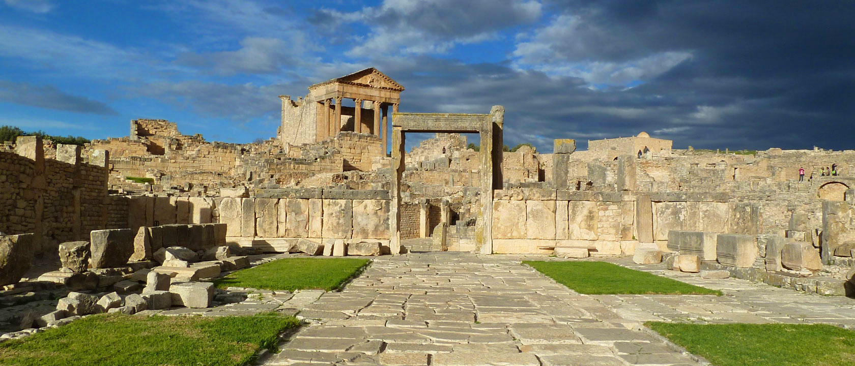
Capitol, Dougga, Tunisia. Photo: Dr Julia Kelly
During the Roman Empire Italy’s dearth of arable land for cereal cultivation was of great consequence for the development of North Africa. After the Punic Wars the region that is now Tunisia superseded Egypt as the major ‘bread basket’ of Rome; grain to feed Rome’s urban masses was also cultivated in Sicily, Sardinia, Spain, and what is now Morocco. Today travellers may look out from ancient sites such as Dougga (Tunisia) and Volubilis (Morocco) upon broad plains and imagine these coloured golden by maturing wheat. The export of grain from North Africa’s harbours to Ostia Antica and other Italic ports enriched the region, which boasted some 600 cities. In Tunisia grain cultivation came to be supplemented by olive groves bringing such wealth to communities like the small towns around El Djem and its surroundings that this city was able to build a great amphitheatre, which is second only in size to Rome’s Colosseum.

Roman Amphitheatre of El Djem, Tunisia
The Mediterranean’s north coast is not only mountainous, but also made up of a number of peninsulas, the largest of which are the Italic Peninsula and the Balkans. These, and a myriad smaller capes and mountainous isthmuses and islands, have segmented the North Mediterranean, separating communities from each other, which in part accounts for the region’s rich tapestry of different cultures. Both before and after the Romans imposed hegemonic unity upon the Mediterranean, it is better understood as the sum of a number of separate seas, such as the Balearic, Tyrrhenian, Adriatic and Aegean. These at different times formed a series of discrete economic and cultural sub-regions, little worlds with their own languages, religious beliefs, economies and polities. From time to time these were fought over by competing States. The Tyrrhenian Sea provides an excellent example. In 600 BCE Greeks from Phocea established a colony at Massalia (Marseille) near the mouth of the Rhone, in order to control the riverine tin trade from France and Cornwall. These Greeks also formed the colony of Alalia (Aléria) on Corsica’s east coast.
Incursion into the Tyrrhenian brought the Greeks into conflict with the Celts, Etruscans and Phoenicians from Carthage. In the naval Battle of Alalia (c. 535 BCE) a fleet of 60 ships of the Phocians and the colonies of Massalia and Alalia were defeated by a combined force of 120 Etruscan and Carthaginian vessels. With the decline of the Roman Empire, the Mediterranean again fractured into regional spheres of influence. The Vandals for a time controlled the western Mediterranean, until in the 6th century the forces of the Byzantine Emperor Justinian conquered the West. Byzantine control was, however, tenuous and was soon reduced to coastal enclaves (exarchates) in the Tyrrhenian and elsewhere. In the 7th and 8th centuries Muslims from North Africa, and Spain and Sicily held sway over the Tyrrhenian. In the Middle Ages, Pisa, Genoa and Barcelona competed to dominate Sardinia and Corsica. Control of a regional sea could be vital to commerce. In the 16th century, a Spanish ambassador complained that Venice saw the Adriatic as her very own sea; the vital importance of her Adriatic sea lanes to Venetian maritime traffic demanded that the Serenissima guard it with unceasing vigilance. In 1571 a fleet of Spanish and Venetian galleys defeated an Ottoman fleet at Lepanto, at the strategic entrance to the Adriatic.
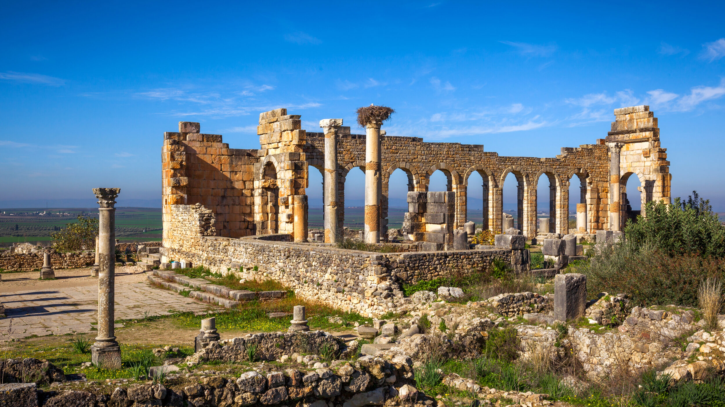
Roman Basilica at Volubilis, Morocco
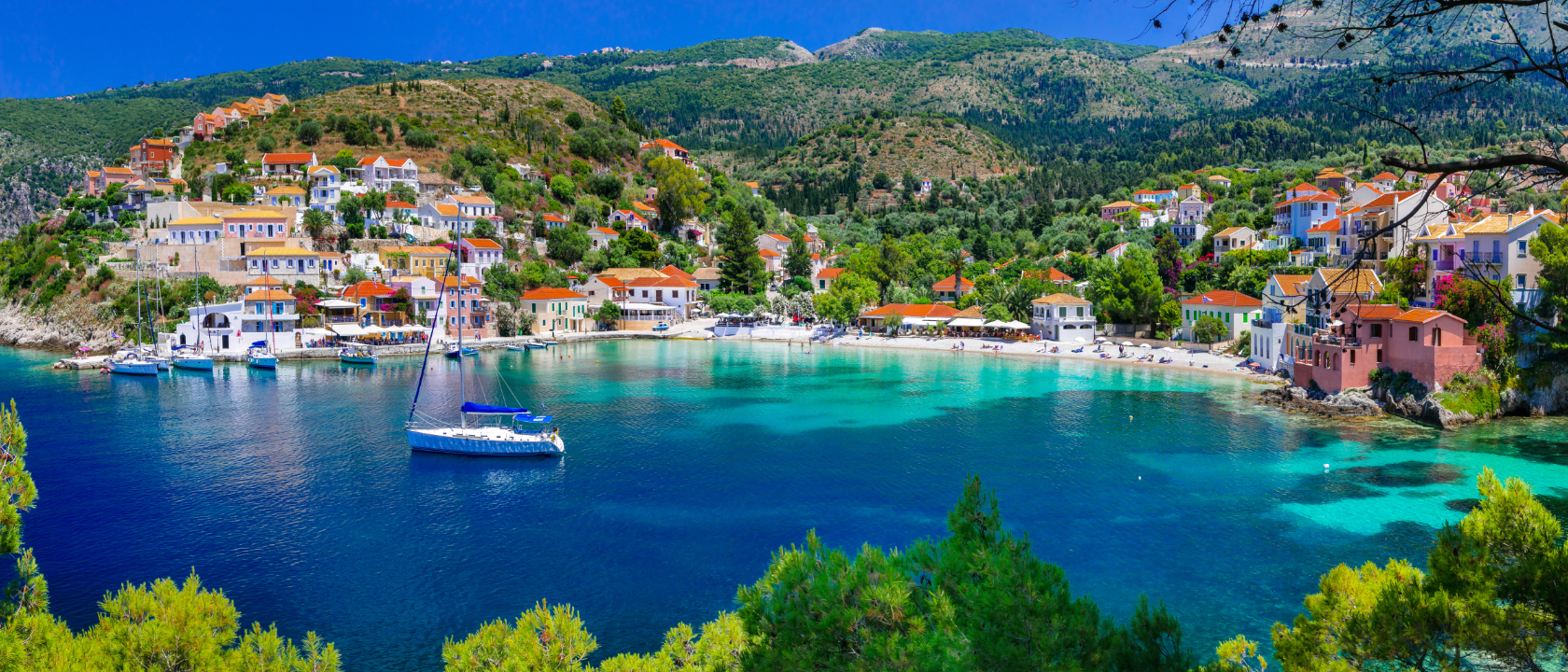
The northern half of the Mediterranean is segmented not only by peninsulas but also by thousands of islands, the largest of which are Sicily, Sardinia, Corsica, Cyprus, Rhodes, Crete and Malta. These could act as physical barriers to shipping and could also prove strategic barriers if an alien power controlled them. The Strait of Messina between Sicily and the toe of Italy, for example, was strategically important because by sailing through it ships could avoid the long voyage around Sicily. This strait is an important example of a ‘bottleneck’ that benefited those who controlled it, placing their enemies at a serious disadvantage. Another bottleneck is the Sicilian Channel, between Sicily and Tunisia, which the Phoenicians were anxious to control when their trade empire was at its zenith (c. 1,000 – 800 BCE). It was as important to them as the entrance to the Adriatic was for medieval and Early Modern Venice, or the Bosphorus was to the Byzantines and later the Ottomans.
Clusters of islands in particular areas could band together to form regional monopolies. The Aegean has a particularly large number of islands that during the Bronze Age harboured a group of petty Kingdoms. At the beginning of the 1st millennium BCE, these islands traded with the Phoenicians. Later, a number of these banded together with Athens and the Ionian Greeks to form a Thalassocracy, a sea-born empire, the Delian League (founded 478 BCE), designed to fight the Persians. Athens came to dominate the League, and in 454 BCE Pericles moved its power centre from Delos to Athens.
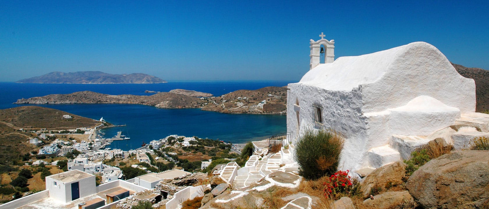
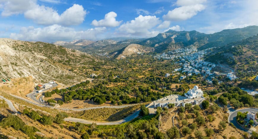
Panorama view over the Greek island of Ios, Cyclades, Greece
Small peninsulas, isthmuses and islands could be of great value to Thalassocracies. The most striking example from antiquity is the Phoenician sea-born trade empire. Thalassocracies are concerned with control of the seas rather than mainland territory. They have little interest in inland regions, other than as sources of trade goods. The Phoenicians built their trade empire from cities along the Levantine coast, such as Tyre, Sidon, and Byblos. They founded trading cities throughout the Mediterranean and even along the Atlantic coasts of Morocco and Spain; Cadiz in Iberia and Essaouira in Morocco are of Phoenician foundation. By restricting themselves to trading ports rather than embarking upon territorial conquest they were able to establish trade relations with inland peoples without competing for their territory.
They also preferred to found their emporia on offshore islands and isthmuses because they could thereby not only avoid territorial disputes with local tribes but also defend their colonies with ease; islands, of course, were separate from the mainland, and the isthmuses they colonised were joined to it by narrow, easily defended land bridges. Islands and Isthmuses, moreover, made good ports, because they enabled the establishment of two or more (in the case of islands) harbours, providing alternative anchorages that could shelter ships if the wind changed direction. Both Phoenicians and Greeks used isthmuses and islands in this way. The Phoenician ports of Arvad (Syria), Nora (Sardinia), Motya (Sicily), Lepcis Magna (Libya) and Cadiz, and the Greek colonies of Ortygia (Sicily), Taranto (South Italy), Miletus (Turkey) and Chersonesos in the Crimea are just a few examples.
The Mediterranean Space: Unity and Diversity
It would seem, that is, that the history of the Mediterranean involves a conundrum born of a tension between its cohesive and fragmentary natures. The historiography of the Mediterranean has, in fact, been characterised by debates over the unity of the Sea versus its diversity, between isolation determined by its peninsulas and islands, and cosmopolitanism that was the result of constant maritime communication. Fernand Braudel, for example, acknowledged that Mediterranean peoples – Socrates’ ‘frogs and ants around a pond’ – shared a history of maritime contact but also argued that for eons they also shared a common way of life that was the result of its difficult topography and its harsh environment. Braudel believed that the challenging, unpredictable circumstances of Mediterranean ecology, and the isolation of its non-seafaring communities from each other, trapped its rural populations in a slow-moving time, the longue durée, that inhibited their ability to develop the kinds of sophisticated economic, industrial, technological processes that enabled Northern Europe to become a modern industrial powerhouse. In other words, the characteristics that Mediterranean people shared were due, in part, to their isolation from each other. Peregrine Horden and Nicholas Purcell have modified Braudel’s thesis by arguing that despite the Mediterranean’s mountains, peninsulas and islands, the populations of its different regions since antiquity have been able to communicate with each other reasonably easily, especially when droughts and crop failures, which occur periodically in the Mediterranean basin, necessitated trade or migration in search of food; the Mediterranean climate, characterised by warm, wet winters and dry summers, is unpredictable.
The clue to resolving this conundrum involving the opposing forces of connectivity and isolation resides in what has already been said of the Phoenician Thalassocracy, of its preference for ports over territories, and its willingness to trade with indigenes without encroaching upon tribal territory. To understand Mediterranean history, we need to take into account interactions not only between its coastal communities but also between these and the peoples of its inland, of its mountains and valleys. This relationship over time has been very complex. There is ample evidence that coastal and inland peoples are very different, as Braudel showed when he alluded to Carlo Levi’s Christ Stopped at Eboli in which the hero, exiled to a remote Calabrian community by the fascists, leaves the cosmopolitanism of the coast to enter an archaic, ‘timeless’ mountain society dominated by superstition. In certain places we can understand the processes that caused this difference. The indigenes of Corsica and Sardinia, for example, retreated to isolated inland villages to avoid foreign invaders and pirates that throughout their histories have visited their coasts. The same is true of Malta before the Knights of St John secured the island’s coasts. Another reason to move inland was malaria, which proliferated in coastal swamps and wetlands.
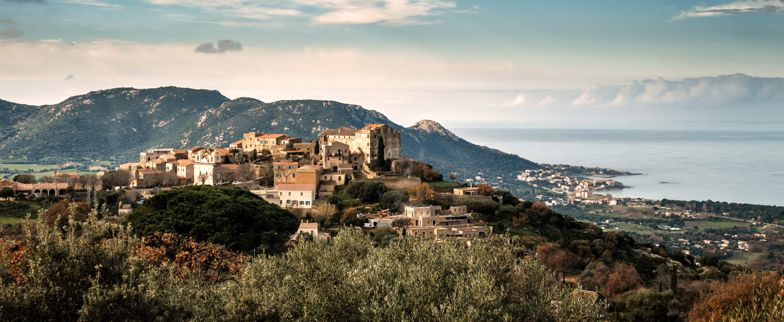
Ancient mountain village of Pigna, Corsica
Yet these examples of the separation of coast from hinterland may be countered by many examples of interactions between the seaboard and the interior. One age old example of this interaction is the movement of peoples and their flocks from highland summer pastures to coastal wintering communities. Transhumance has occurred throughout the Mediterranean region for at least three millennia. The shepherds of North Africa moved down from highlands to the coast in antiquity, not only to feed their animals but also to assist in the harvest. Recent archaeology has shown that the barriers built by the Romans on the southern boundaries of their North African territories were porous, designed not to repel local tribesmen but to control their movements. Whilst allowing some Berber groups to move onto the plain to assist in the harvest the Roman limes (fortified frontier) was also designed to stop others driving their large flocks into agricultural lands until the harvest was complete. This protected the ripening grain from grazing but then, after the harvest, harnessed the manure of the flocks to fertilise the land. Another example of the interaction between inland and shore was that between riverine and maritime trade, a topic that will be mentioned later in this essay.
![]()
Transhumance and Nomadism in the Mediterranean by Fernand Braudel
In the meantime it is important to note that whereas the Phoenicians restricted themselves to the Mediterranean’s coasts, the Greeks and Romans colonised its territories. They did so for different reasons. Whereas the Phoenicians seem to have been content with trade, the Greeks colonised Sicily and the South of Italy in order to establish agricultural as well as trading colonies. There seem to be a number of reasons for this. Greece is not a fertile land, and it has been argued that colonisation occurred because the Greeks could not feed all their people. Colonies also seem to have been founded by adventurers looking for a new life, and wealth. Particular city factions were forced to flee their homelands due to political tensions. One distinctive quality of Greek colonisation is that the colonisers often subsequently pursued an independent political course to that of their founding city. This distinguishes both the Greek and Phoenician empires from those of the Romans, or, much later, the British who maintained an Imperial administration. Phoenician colonies formed loose networks of common commercial interest, at least until the growth of the western Phoenician capital, Carthage, after 814 BCE.
Explore the history of the Mediterranean and its people on tours in Tunisia, Algeria, Morocco, Cyprus, Greece, France, Italy, Croatia, Türkiye and Spain.
On the same subject
Phoenicia, Carthage and the Mediterranean. Part I: A Synoptic History of the Phoenicians
Phoenicia, Carthage and the Mediterranean. Part III: The nature of Mediterranean shipping (coming soon)
Article images
Landscape with Filoti town, mountain village on the island of Naxos in Greece Cyclades. ID 292816722 © Dorinmarius | Dreamstime.com
Spreading of homo sapiens. By NordNordWest, Public Domain via WikiCommons
Mosaics at Piazza Armerina. Photo by Dr Julia Kelly
Capitol, Dougga, Tunisia. Photo: Dr Julia Kelly
El Djem Colosseum amphitheater. Tunisia ID 135414064 © Valery Bareta | Dreamstime.com
View of the Basilica, Volubilis, Morocco. ID 129359136 © Maurizio De Mattei| Dreamstime.com
Panorama view over the Greek island of Ios, Cyclades, Greece. ID 5681638 © Phillip Gray | Dreamstime.com
Ancient mountain village of Pigna in Corsica. ID 135413731 © Jon Ingall | Dreamstime.com
Transhumance and Nomadism in the Mediterranean by Fernand Braudel
These images have been resized for this website.
 Between Sea and Sky: Homer’s Greek Islands 2026
 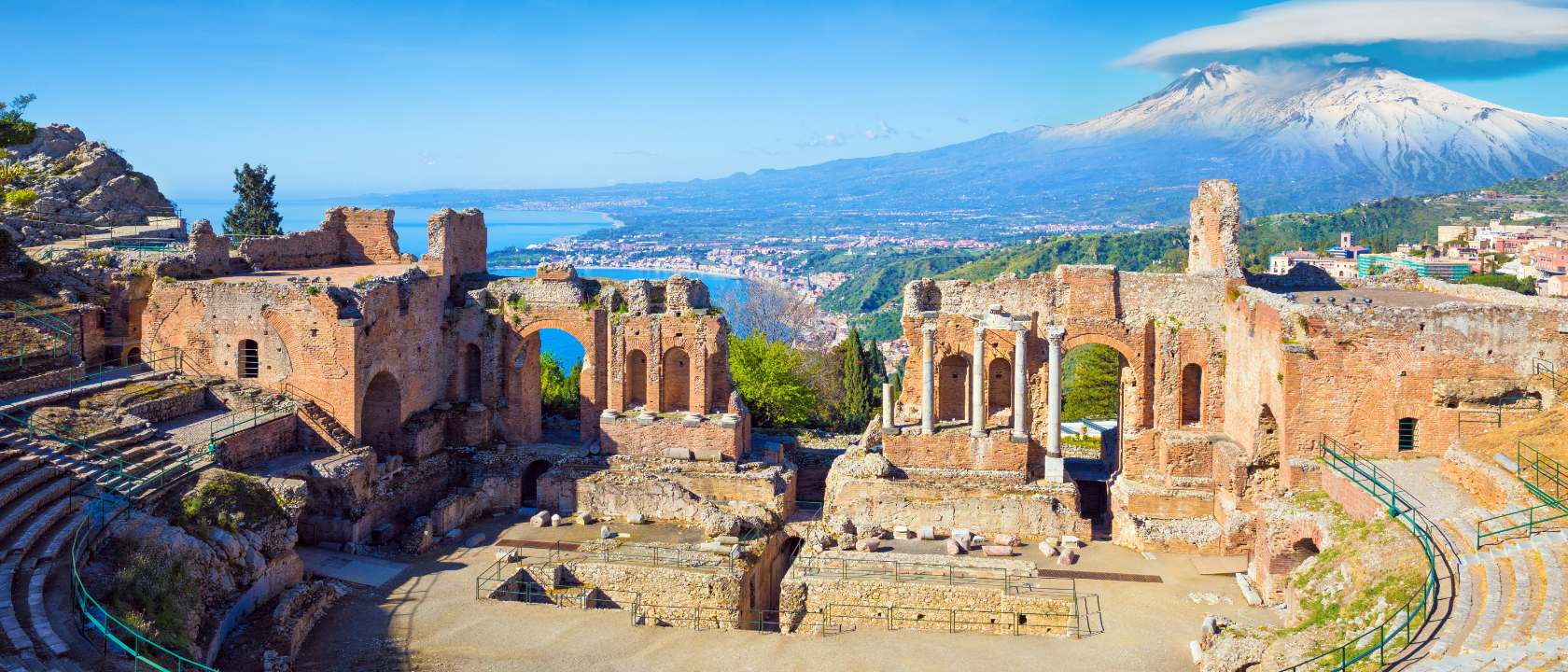 Sicily and the Aeolian Islands 2026
  Türkiye: The Ages of Anatolia 2027
 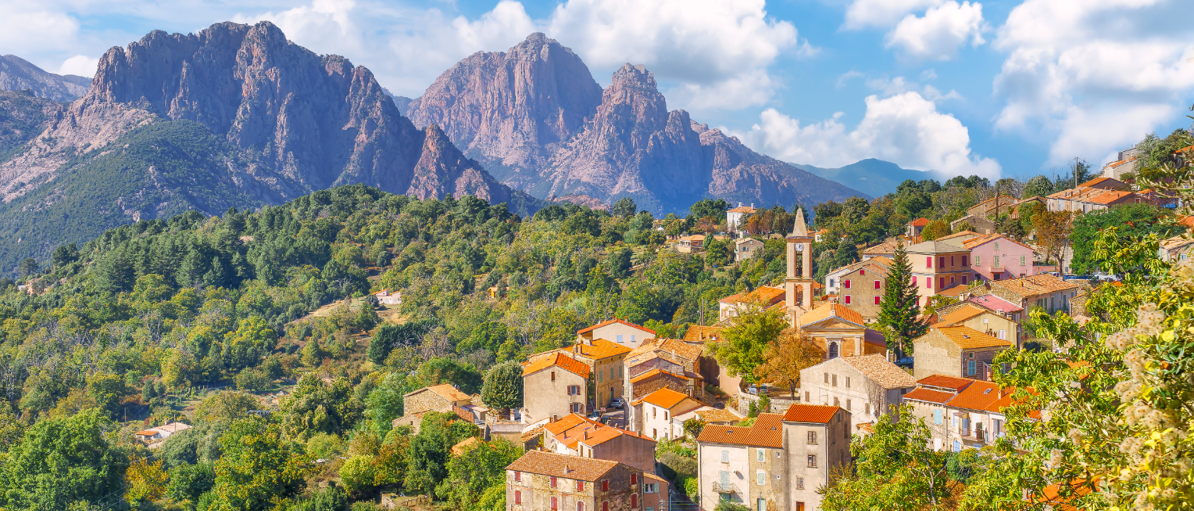 Sardinia and Corsica: Islands of Forgotten Riches 2027
 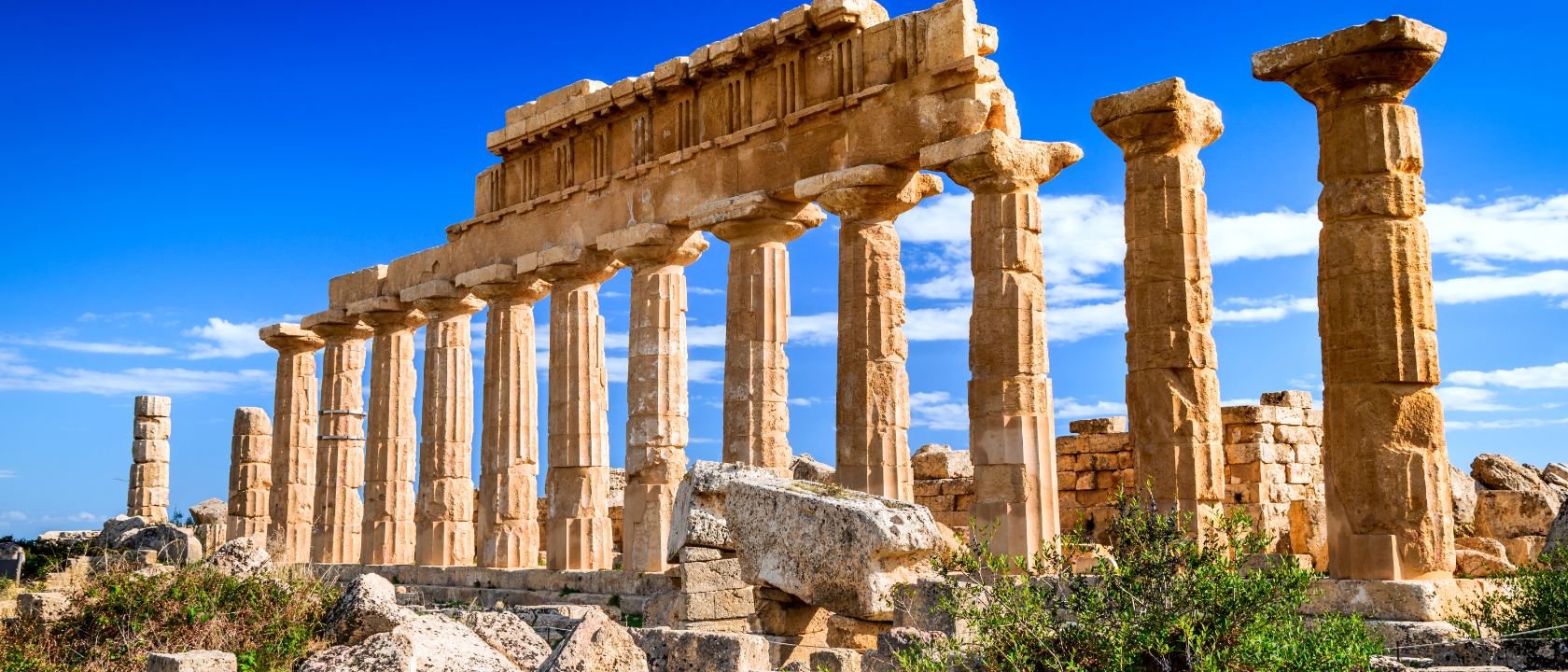 Sicily and the Aeolian Islands 2027